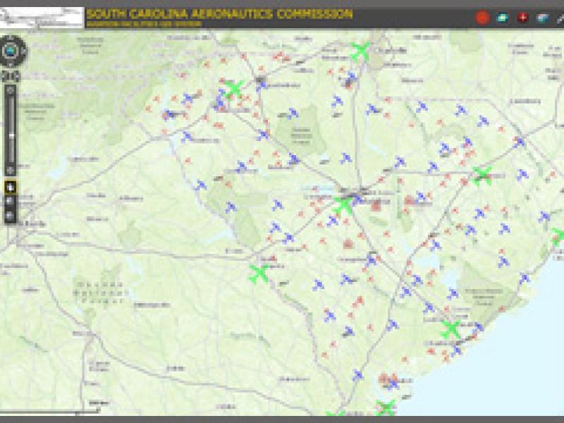
All Data Viewer
This application contains all data associated with airfield facilities in South Carolina. Check back often for updates.
Safety Inspection Viewer
This Application contains data from the annual airport 5010 Safety Inspections. This includes airfield issues and Obstruction Information.
FCC Tower Data (Google Earth.kmz)
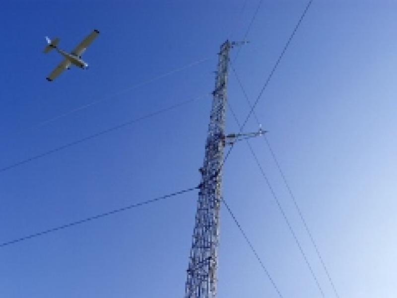
Click on the photo above to download the most recent google earth file for FCC tower info. Google earth is needed to view this data.
FAA UAS Data
Link to the FAA UAS GIS data layers. Data contained on this website is owned and updated by the FAA.
AWOS Status Map
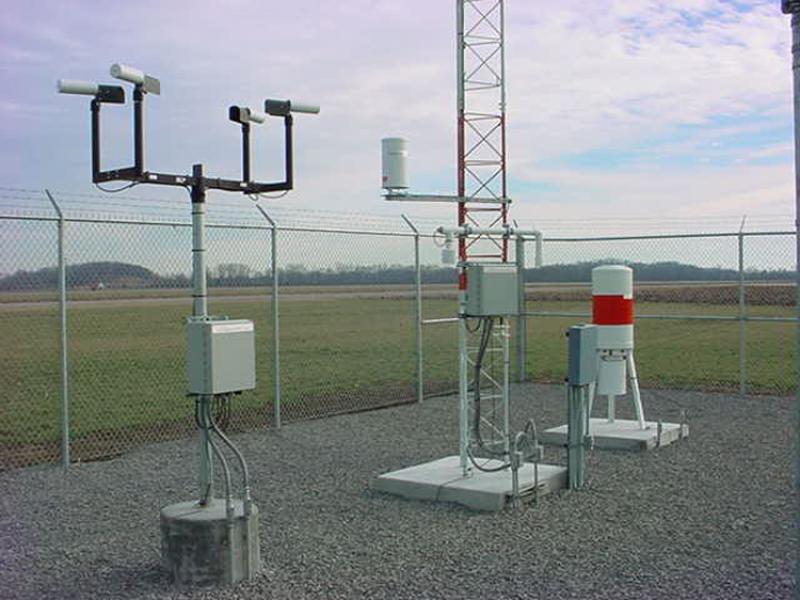
Link to the NOAA AWOS data layers. Data contained on this website is owned and updated by NOAA. AWOS data updates every 10 minutes.
SCDOC UAV No Fly Zone Map
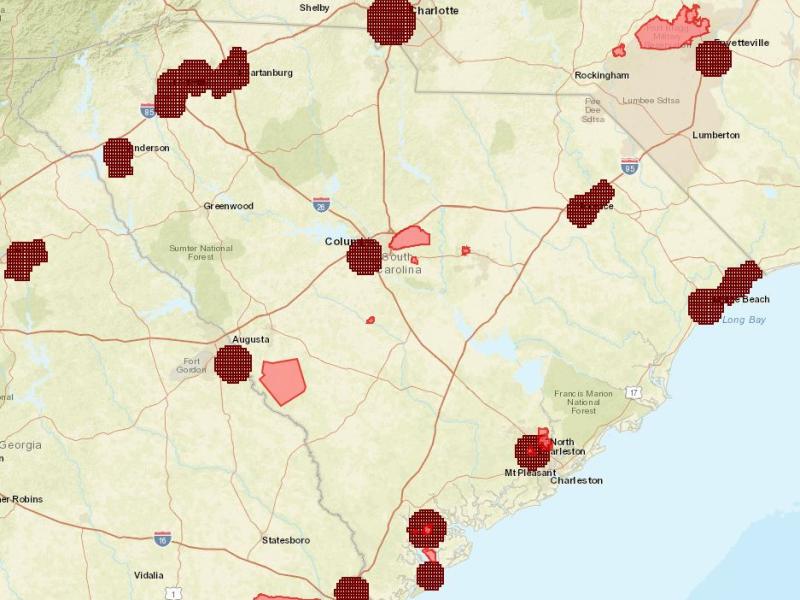
This map contains the boundaries of the UAV no fly zones for South Carolina Department of Corrections Facilities per SC State Law. Data contained on this application is owned and updated by SCDOC.
2021-2024 Pavement Condition Index
PCI GIS Application
Interactive GIS application provides detailed pavement condition information for select airports in South Carolina.

